Additional Products
Copernicus Global 30 meter Digital Elevation Model dataset in COG format
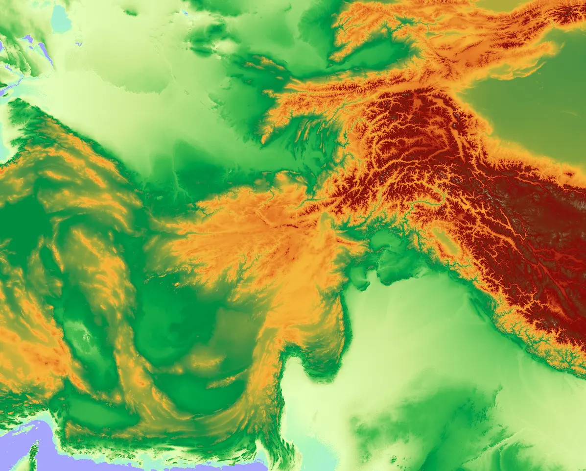
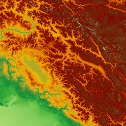
The Copernicus DEM is a Digital Surface Model (DSM) which represents the surface of the Earth including buildings, infrastructure and vegetation. GLO-30 provides worldwide coverage at 30 meters (refers to 10 arc seconds). Note that ocean areas do not have tiles, there one can assume height values equal to zero. Data is provided as Cloud Optimized GeoTIFFs. Note that the vertical unit for measurement of elevation height is meters. The Copernicus DEM GLO-30 is distributed by OpenTopography and corresponds to the DGED 2023_1 release of the Copernicus DEM.
| Property | Value |
|---|---|
| Spatial extent | [-180.0, -90.0, 180.0, 90.0] |
| Temporal extent | 2010/12/12 - 2012/11/20 |
| DOI | 10.71570/84mw-cg74 |
Copernicus Global 90 meter Digital Elevation Model dataset in COG format
The Copernicus DEM is a Digital Surface Model (DSM) which represents the surface of the Earth including buildings, infrastructure and vegetation. GLO-90 provides worldwide coverage at 90 meters (refers to 30 arc seconds). Note that ocean areas do not have tiles, there one can assume height values equal to zero. Data is provided as Cloud Optimized GeoTIFFs. Note that the vertical unit for measurement of elevation height is meters. The Copernicus DEM GLO-90 is distributed by OpenTopography and corresponds to the DGED 2023_1 release of the Copernicus DEM.
| Property | Value |
|---|---|
| Spatial extent | [-180.0, -90.0, 180.0, 90.0] |
| Temporal extent | 2010/12/12 - 2012/11/20 |
| DOI | 10.71570/9eac-fa33 |