SPOT-VGT Data Products
SPOT-VGT (Vegetation) satellite data, operational from 1998 to 2014, offered valuable insights into global vegetation dynamics. It captured imagery primarily in red and near-infrared bands, enabling the calculation of key vegetation indices like NDVI. The Terms of use for this collection can be found here.
SPOT-VGT FreeP physical TOA products - V2
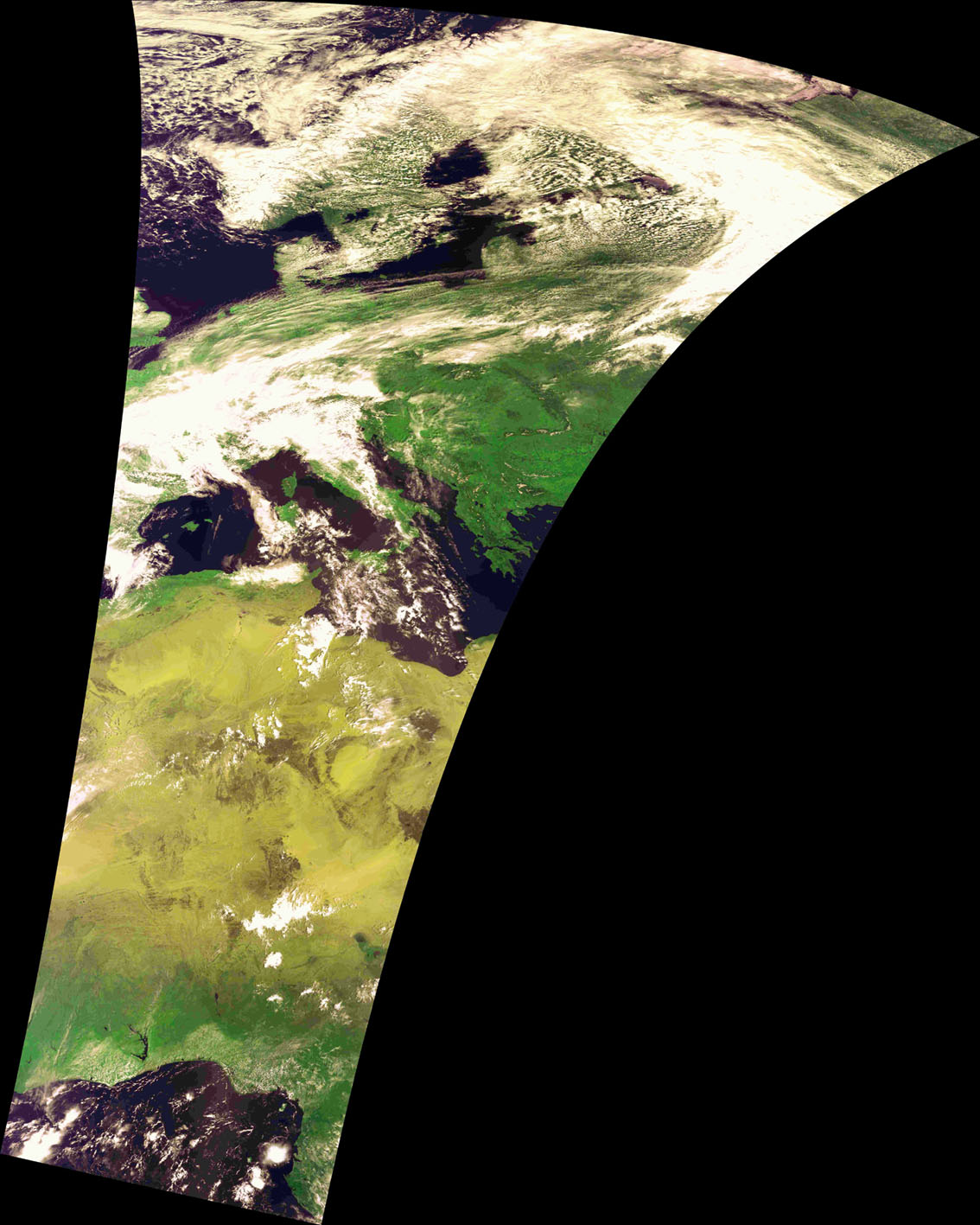
The SPOT-VGT FreeP collection contains physical products (VGT-P) with TOA (Top of Atmosphere) reflectance data at 1km resolution, derived from SPOT-4 and SPOT-5 VEGETATION sensors. These products are adapted for scientific applications requiring highly accurate physical measurements, corrected for system errors and resampled to predefined geographic projections.
| Property | Value |
|---|---|
| Spatial extent | [-180.0, -56.0, 180.0, 75.0] |
| Temporal extent | 1998/04/01 - 2014/05/31 |
| DOI | 10.71570/wq12-bv94 |
SPOT-VGT S1 daily synthesis surface reflectance and NDVI - V2
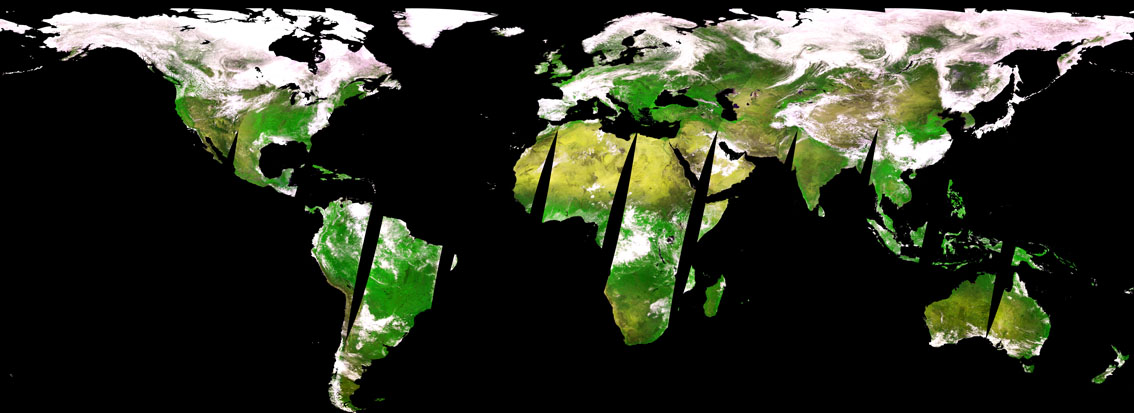
The SPOT-VGT S1 collection contains daily synthesis (1-day composite) surface reflectance and NDVI products at 1km resolution, derived from SPOT-4 and SPOT-5 VEGETATION sensors. VGT-S1 products are composed of the ‘Best available’ ground reflectance measurements of all segments received during one day for the entire surface of the Earth.
| Property | Value |
|---|---|
| Spatial extent | [-180.0, -56.0, 180.0, 75.0] |
| Temporal extent | 1998/04/01 - 2014/05/31 |
| DOI | 10.71570/gffd-7284 |
SPOT-VGT S10 10-daily synthesis surface reflectance and NDVI - V2
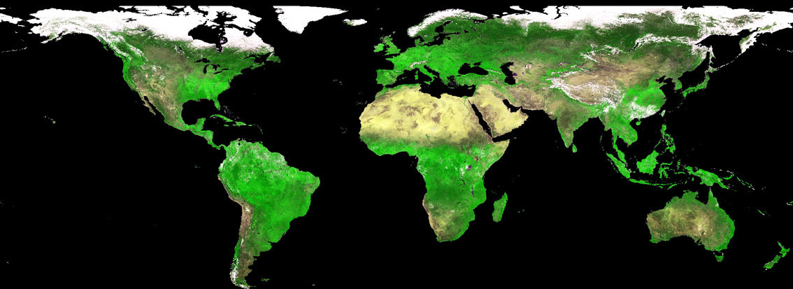
The SPOT-VGT S10 collection contains 10-daily synthesis surface reflectance and NDVI products at 1km resolution, derived from SPOT-4 and SPOT-5 VEGETATION sensors.
| Property | Value |
|---|---|
| Spatial extent | [-180.0, -56.0, 180.0, 75.0] |
| Temporal extent | 1998/04/01 - 2014/05/31 |
| DOI | 10.71570/0r7m-fw33 |
SPOT-VGT FreeS10 10-daily synthesis NDVI and Status Map - V2
The SPOT-VGT FreeS10 collection contains 10-daily synthesis NDVI and Status Map products at 1km resolution, derived from SPOT-4 and SPOT-5 VEGETATION sensors. This is a subset of the full S10 product suite containing only NDVI and Status Map bands.
| Property | Value |
|---|---|
| Spatial extent | [-180.0, -56.0, 180.0, 75.0] |
| Temporal extent | 1998/04/01 - 2014/05/31 |
| DOI | 10.71570/623a-8t25 |