IPERLITE

IPERLITE mission
IPERLITE is a next-generation hyperspectral Earth Observation mission designed to provide high-quality imagery across more than 100 contiguous spectral bands. The mission supports a broad range of applications, including agriculture, forestry, biodiversity monitoring, water management, land cover mapping, climate studies, and environmental assessment. The high spectral resolution enables detailed characterization of surface materials and biophysical properties that cannot be derived from traditional multispectral missions.
Following the successful completion of commissioning in September 2026, IPERLITE entered its operational phase. As an in-orbit demonstration mission, IPERLITE captures targeted hyperspectral observations based on user acquisition requests.
IPERLITE data products are available at two processing levels: Level 1C products comprise georeferenced hyperspectral Top-of-Atmosphere (TOA) reflectance data (all bands), while Level 2A products provide atmospherically corrected Top-of-Canopy (TOC) reflectance data (all bands). Both product levels have a ground sampling distance of 20 metres and are distributed as Cloud-Optimised geoTIFF (COG) data products.
IPERLITE data are made available through the Terrascope Earth Observation platform. The Level 1C and Level 2A collections are integrated into the Terrascope STAC catalogue, where users can search for observations by location and acquisition date, inspect product metadata, and access the available archive data.
The IPERLITE data is connected to the wider Terrascope ecosystem, including:
- TerraViewer for interactive exploration;
- the STAC catalogue and STAC API for data discovery and machine-to-machine access;
- Jupyter Notebook environments for analysis and prototyping;
- Virtual Machines, cloud infrastructure and direct data access for processing close to the data;
- OGC webservices (WMTS, WCS & WMS)
- Programmatic API access
IPERLITE data is open and free. Users can explore existing observations or submit a project proposal for archive data or for a new acquisition over their area of interest via a request form, which will be available soon. New tasking requests will be internally reviewed and are handled on a best-effort basis.
Documents & information
- IPERLITE Product User Manual (PDF)
- IPERLITE Fact sheet (PDF)
- IPERLITE: A Hyperspectral Satellite Mission for Improved Earth Observation Image Quality (News)
- Hyperspectral Excellence: VITO’s Journey (News)
- ESA, VITO, and Aerospacelab Team Up for IPERLITE Hyperspectral Mission (News)
- IPERLITE mission (BELSPO)
Known limitations & constraints
Users should be aware of the following limitations:
- Radiometric performance varies across the spectral range. Large band-to-band sensitivity differences (>20×), combined with a common TDI12 integration time, result in lower SNR in less-sensitive red/NIR bands and increased saturation risk in the most sensitive bands.
- Offset/dark-current effects are significant relative to the 10-bit detector range. They vary with wavelength, field of view and detector temperature. Residual correction and read-out artefacts can particularly affect low-radiance targets.
- Some spectral bands are excluded from the operational product because of low sensitivity or unreliable spectral characterization, resulting in gaps around 598.7–608.1 nm and 615.6–629.4 nm.
- Low-radiance targets are more affected by radiometric uncertainty. Quantitative use of NIR bands over clear areas is currently not recommended.
- Sequential acquisition makes inter-band co-registration sensitive to spacecraft attitude drift. Operational geometric processing reduces residual inter-band misregistration to approximately 0.5–0.67 pixels, but performance can vary between acquisitions.
- Geolocation accuracy is scene-dependent and influenced by cloud cover and the availability and spatial distribution of suitable ground control points.
IPERLITE products
IPERLITE L1C top of atmosphere (TOA) reflectance hyperspectral products, COG format - Version 1
IPERLITE Level-1C products are top of atmosphere (TOA) reflectance hyperspectral products from the IPERLITE in‑orbit demonstration mission, intended to support downstream processing and experimentation (e.g., STAC/openEO integration). Data are collected by the CSIMBA instrument and provide hyperspectral observations at 20 m ground sampling distance with 133 bands spanning 450–900 nm.
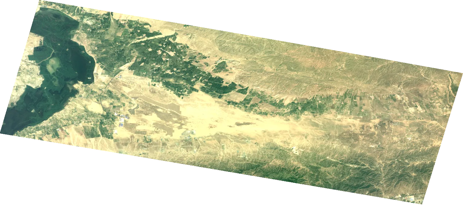
| Property | Value |
|---|---|
| Spatial extent | [-180, -56, 180, 75] |
| Temporal extent | 2026/06/01 - Current |
| DOI | 10.71570/55r6-b082 |
IPERLITE L2A top of canopy (TOC) reflectance hyperspectral products, COG format - Version 1
IPERLITE Level-2A products are top of canopy (TOC) reflectance hyperspectral products from the IPERLITE in‑orbit demonstration mission, intended to support downstream processing and experimentation (e.g., STAC/openEO integration). Data are collected by the CSIMBA instrument and provide hyperspectral observations at 20 m ground sampling distance with 133 bands spanning 450–900 nm.
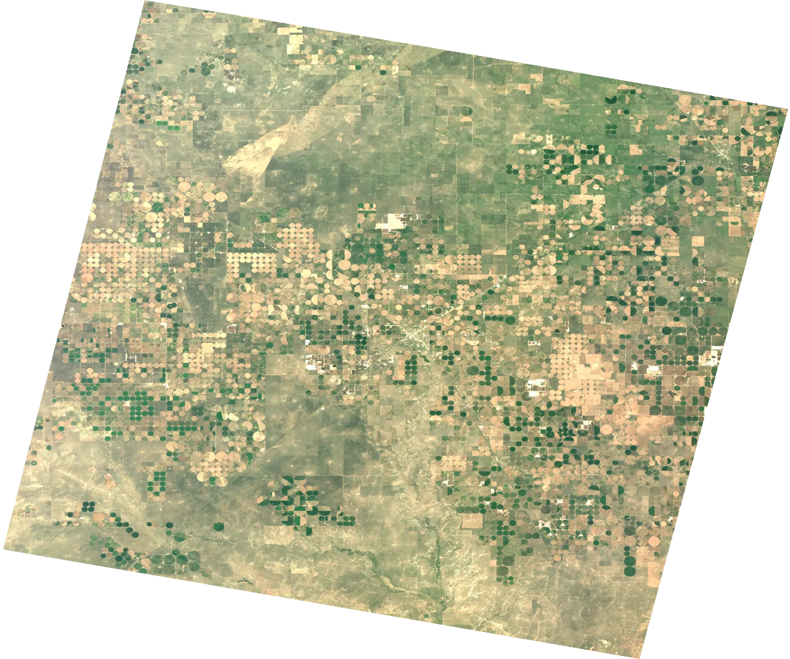
| Property | Value |
|---|---|
| Spatial extent | [-180, -56, 180, 75] |
| Temporal extent | 2026/06/01 - Current |
| DOI | 10.71570/gy4d-7390 |