Go Back
Overview
Get started
Introduction
Terrascope Introduction
The Copernicus Programme
Registration and authentication
Data
Sentinel Missions
Sentinel-1
Sentinel-2
Sentinel-3
Sentinel-5P
PROBA-V mission
PROBA-V
SPOT-VGT mission
SPOT-VGT
WorldCover
Additional Products
APIs
Catalogue APIs
OpenSearch
TerraCatalogueClient
STAC
Product download
Streamlined Data Access APIs
openEO
Additional Web-services
CropSAR Service
WMS / WMTS
MapProxy (WMS / WMTS)
Tools
Terrascope GUI
Terrascope Viewer
STAC Browser
openEO web editor
Virtual Environments
Virtual Machine
JupyterLab
Hadoop Cluster
EOplaza
Getting started
Manage your Organisation
Publish a Service
Execute a Service
Manage a Service
Reporting
Quotas and Limitations
Support
Contact
Terrascope Forum
Terrascope Sample Examples
FAQ
Web Services
CropSAR Service
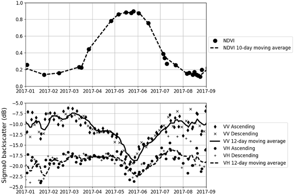
CropSAR
utilizes Sentinel-1 radar observations alongside Sentinel-2 data. It enables continuous monitoring of vegetation properties. This approach includes vegetation…
TerraCatalogue: Terrascope Catalogue Web Service
The Terrascope catalogue allows you to search through our data. The Terrascope viewer provides a way to do this manually, but when you are programming yourself, you can use…
openEO web service
openEO represents an innovative community standard for geospatial data processing and analysis. This framework provides a novel approach to accessing, processing, and…
No matching items
Open Geospatial Consortium (OGC) Webservices
MapProxy (WMS / WMTS)
The Terrascope MapProxy service provides both WMS and WMTS endpoints, optimised for products that require high zoom levels and overview imagery. It serves pre-rendered tiles…
WMS / WMTS
Terrascope provides both a Web Map Service (WMS) and a Web Map Tile Service (WMTS) for accessing georeferenced map imagery over the internet. Both services expose the same…
No matching items
Back to top